
MGSFlood™
A Continuous Simulation Stormwater Platform
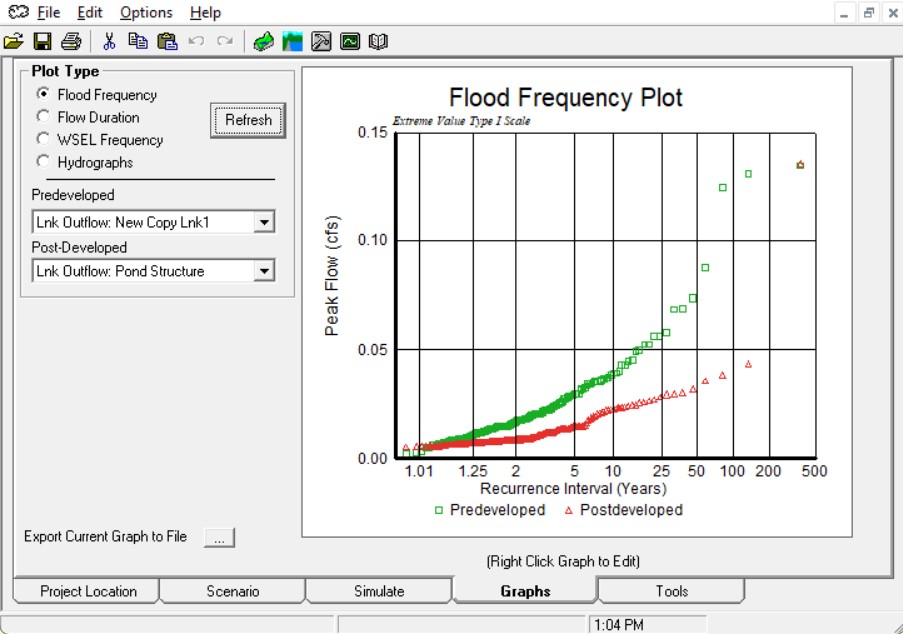
MGSFlood is a platform tool for stormwater design in Western Washington that employs modeling methods, continuous flow simulation and design methods consistent with stormwater regulatory requirements, as opposed to traditional single-event design storm methods.

Why Choose MGSFlood?
Designed for professionals
Focused on the hydrologic processes and outputs most important to stormwater facility design, permitting, and ecological outcomes.
Ready-to-use datasets
Immediate access to long-term, 5-minute precipitation and evaporation records that are otherwise complex and time-consuming to assemble.
Extensible and customizable
Accepts user-supplied precipitation inputs and can be adapted to other regions with the ability to further develop extended time series and regional parameter sets.
Faster, more defensible designs
Continuous simulation results that can be easily and quickly evaluated, allowing for efficient and defensible infrastructure design.
Support and services
Responsive email and phone support and training.
Features

Trusted by engineers, planners, developers, designers and stormwater professionals across municipalities, consulting firms, and research institutions.
Our Model
MGSFlood uses the Hydrological Simulation Program–FORTRAN (HSPF) runoff routines to simulate land-surface and subsurface hydrology over multi-year periods. The model continually tracks moisture on the ground, in soil layers, and in groundwater, producing long timeseries of runoff and streamflow suitable for design, permitting, and environmental analysis.
Contact us
For general inquiries or questions about MGSFlood, please use the following form or email us at MGSFlood@rti.org . For technical support, please email MGSFlood.support@rti.org.